River Wear near Washington
Introduction
The photograph on this page of River Wear near Washington by Malc McDonald as part of the Geograph project.
The Geograph project started in 2005 with the aim of publishing, organising and preserving representative images for every square kilometre of Great Britain, Ireland and the Isle of Man.

There are currently over 7.5m images from over 14,400 individuals and you can help contribute to the project by visiting https://www.geograph.org.uk
River Wear near Washington
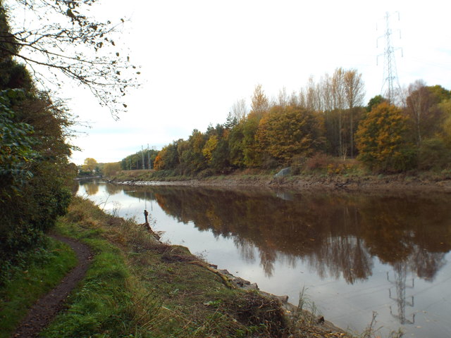
Image: © Malc McDonald Taken: 29 Oct 2016
This image looks upstream. The path to the left of the image is part of the Weardale Way long distance footpath.
Images are licensed for reuse under creativecommons.org/licenses/by-sa/2.0
Image Location
Latitude
54.894038
Longitude
-1.483588