Path in Oldbury Woods up to the Iron Age fort on Oldbury Hill
Introduction
The photograph on this page of Path in Oldbury Woods up to the Iron Age fort on Oldbury Hill by Marathon as part of the Geograph project.
The Geograph project started in 2005 with the aim of publishing, organising and preserving representative images for every square kilometre of Great Britain, Ireland and the Isle of Man.

There are currently over 7.5m images from over 14,400 individuals and you can help contribute to the project by visiting https://www.geograph.org.uk
Path in Oldbury Woods up to the Iron Age fort on Oldbury Hill
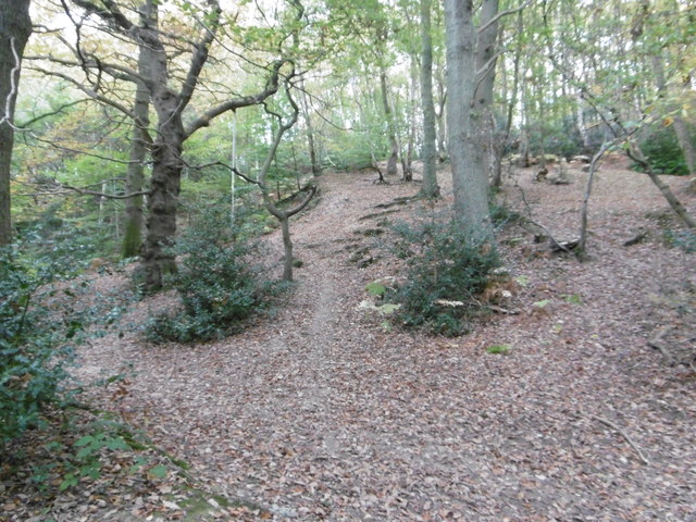
Image: © Marathon Taken: 29 Oct 2016
The Iron Age fort on Oldbury Hill was built between 150 and 50 BC and covered about 124 acres. The ramparts had a circumference of about two and half miles. At the time this was a bare hillside crowned with earth ramparts and a strong wooden palisade. From the ramparts there would have been commanding views of the surrounding countryside. This was one of the most significant Iron Age hill forts on a major trading route. It was not really a military structure in the usual sense as in times of peace it served as an administrative and commercial centre while most people lived on farms in the surrounding countryside. There was also a flourishing iron industry hereabouts. In times of trouble, though, it was a defensive position to which people could retreat with their cattle.
Images are licensed for reuse under creativecommons.org/licenses/by-sa/2.0
Image Location
Latitude
51.284611
Longitude
0.261528