Track across Meikleour Wood
Introduction
The photograph on this page of Track across Meikleour Wood by Richard Webb as part of the Geograph project.
The Geograph project started in 2005 with the aim of publishing, organising and preserving representative images for every square kilometre of Great Britain, Ireland and the Isle of Man.

There are currently over 7.5m images from over 14,400 individuals and you can help contribute to the project by visiting https://www.geograph.org.uk
Track across Meikleour Wood
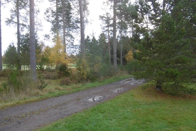
Image: © Richard Webb Taken: 30 Oct 2016
Much of the track runs through the Lansdowne course at Blairgowrie Golf Club.
Images are licensed for reuse under creativecommons.org/licenses/by-sa/2.0
Image Location
Latitude
56.568884
Longitude
-3.327438