Remnant of an old road
Introduction
The photograph on this page of Remnant of an old road by Hywel Williams as part of the Geograph project.
The Geograph project started in 2005 with the aim of publishing, organising and preserving representative images for every square kilometre of Great Britain, Ireland and the Isle of Man.

There are currently over 7.5m images from over 14,400 individuals and you can help contribute to the project by visiting https://www.geograph.org.uk
Remnant of an old road
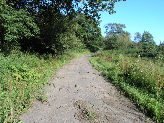
Image: © Hywel Williams Taken: 6 Aug 2007
The original course of a small road branching off the B4306, is slowly falling back to nature since its course was diverted in the 1970s by the building of the M4 motorway. The route ends beyond the trees in the distance where the modern motorway runs down the valley. The road still exists in this form (complete with a stone river bridge) for about a half a kilometre on this side of the motorway, shorter on the other. The road's course is relatively indistinct on 1:50K maps but can clearly be followed on 1:25K resolution maps on both sides of the motorway.
Images are licensed for reuse under creativecommons.org/licenses/by-sa/2.0
Image Location


Leaflet Map data © OpenStreetMap
Latitude
51.727821
Longitude
-4.068883