The M2 from Stony Lane bridge
Introduction
The photograph on this page of The M2 from Stony Lane bridge by Marathon as part of the Geograph project.
The Geograph project started in 2005 with the aim of publishing, organising and preserving representative images for every square kilometre of Great Britain, Ireland and the Isle of Man.

There are currently over 7.5m images from over 14,400 individuals and you can help contribute to the project by visiting https://www.geograph.org.uk
The M2 from Stony Lane bridge
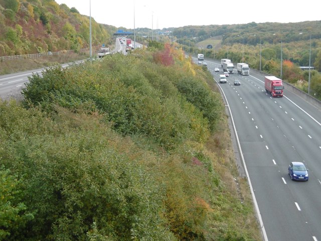
Image: © Marathon Taken: 27 Oct 2016
Stony Lane leads down from Maidstone Road and is cut through the chalk before crossing over the M2 and then over HS1 before reaching Upper Nashenden Farm. Beyond Upper Nashenden Farm a bridleway leads up between Monk Wood and Syle Wood to reach the North Downs Way at Common Road. Another bridleway leads away from Stony Lane before HS1 is reached and follows a route between HS1 and the M2 to reach the North Downs Way at Nashenden Farm. This view looks away from the Medway Valley with the coast-bound carriageway on the left and the London-bound one on the right. The view in the other direction can be seen at http://www.geograph.org.uk/photo/5173144 Just above where the London-bound carriageway disappears around the bend can be seen the northern portal of the North Downs Tunnel taking HS1 towards Ashford International. The other end of the tunnel can be seen at http://www.geograph.org.uk/photo/1873932
Images are licensed for reuse under creativecommons.org/licenses/by-sa/2.0
Image Location
Latitude
51.354506
Longitude
0.495355