Road junction and grass triangle
Introduction
The photograph on this page of Road junction and grass triangle by Michael Trolove as part of the Geograph project.
The Geograph project started in 2005 with the aim of publishing, organising and preserving representative images for every square kilometre of Great Britain, Ireland and the Isle of Man.

There are currently over 7.5m images from over 14,400 individuals and you can help contribute to the project by visiting https://www.geograph.org.uk
Road junction and grass triangle
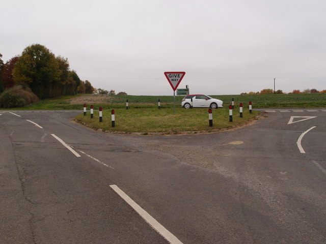
Image: © Michael Trolove Taken: 30 Oct 2016
More circular and heavily protected. The markings on the road surface suggest this may have been elongated to a triangular shape originally. The Junction on the A52 is covered by speed cameras suggesting it's an accident prone area.
Images are licensed for reuse under creativecommons.org/licenses/by-sa/2.0
Image Location
Latitude
52.92104
Longitude
-0.451749