Access Lane beside the Manford Industrial Estate
Introduction
The photograph on this page of Access Lane beside the Manford Industrial Estate by Chris Heaton as part of the Geograph project.
The Geograph project started in 2005 with the aim of publishing, organising and preserving representative images for every square kilometre of Great Britain, Ireland and the Isle of Man.

There are currently over 7.5m images from over 14,400 individuals and you can help contribute to the project by visiting https://www.geograph.org.uk
Access Lane beside the Manford Industrial Estate
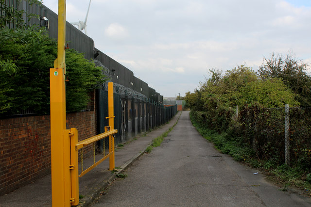
Image: © Chris Heaton Taken: 23 Oct 2016
The Thames Path Extension adopts this lane to reach the river from Manor Road in Erith.
Images are licensed for reuse under creativecommons.org/licenses/by-sa/2.0
Image Location
Latitude
51.477406
Longitude
0.19631