Wonky and misaligned public footpath sign, Frocester
Introduction
The photograph on this page of Wonky and misaligned public footpath sign, Frocester by Jaggery as part of the Geograph project.
The Geograph project started in 2005 with the aim of publishing, organising and preserving representative images for every square kilometre of Great Britain, Ireland and the Isle of Man.

There are currently over 7.5m images from over 14,400 individuals and you can help contribute to the project by visiting https://www.geograph.org.uk
Wonky and misaligned public footpath sign, Frocester
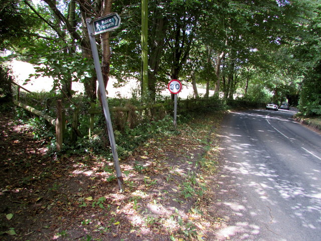
Image: © Jaggery Taken: 7 Aug 2016
Viewed in August 2016 when the post is non-perpendicular and points away from the public footpath http://www.geograph.org.uk/photo/5173747 on the left. There is an impenetrable barrier of trees and bushes on the opposite side of the road. The post was perpendicular and correctly aligned in a June 2009 Google Earth Street View.
Images are licensed for reuse under creativecommons.org/licenses/by-sa/2.0
Image Location
Latitude
51.726215
Longitude
-2.307754