Path alongside Stony Lane
Introduction
The photograph on this page of Path alongside Stony Lane by Marathon as part of the Geograph project.
The Geograph project started in 2005 with the aim of publishing, organising and preserving representative images for every square kilometre of Great Britain, Ireland and the Isle of Man.

There are currently over 7.5m images from over 14,400 individuals and you can help contribute to the project by visiting https://www.geograph.org.uk
Path alongside Stony Lane
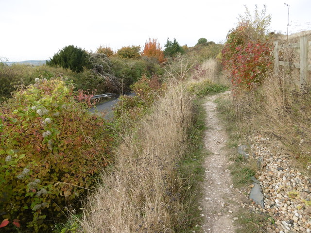
Image: © Marathon Taken: 27 Oct 2016
Stony Lane leads down from Maidstone Road and is cut through the chalk before crossing over the M2 and then over HS1 before reaching Upper Nashenden Farm. Beyond Upper Nashenden Farm a bridleway leads up between Monk Wood and Syle Wood to reach the North Downs Way at Common Road. Another bridleway leads away from Stony Lane before HS1 is reached and follows a route between HS1 and the M2 to reach the North Downs Way at Nashenden Farm. This view is just downhill from Maidstone Road. Stony Lane is surprisingly busy with traffic and even this short footpath above it gives a very brief respite from cars and vans. The underlying chalk can be clearly seen.
Images are licensed for reuse under creativecommons.org/licenses/by-sa/2.0
Image Location
Latitude
51.355842
Longitude
0.496002