Rochester Airport
Introduction
The photograph on this page of Rochester Airport by Marathon as part of the Geograph project.
The Geograph project started in 2005 with the aim of publishing, organising and preserving representative images for every square kilometre of Great Britain, Ireland and the Isle of Man.

There are currently over 7.5m images from over 14,400 individuals and you can help contribute to the project by visiting https://www.geograph.org.uk
Rochester Airport
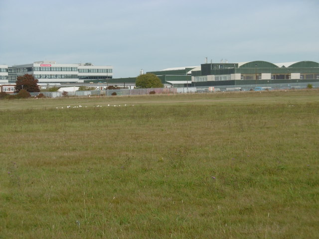
Image: © Marathon Taken: 27 Oct 2016
Rochester Airport dates from 1933. It has two grass runways which form a cross. This looks across the north-western part of one of the runways from Laker Road with Rochester Trade Park beyond. A full history of the airport can be seen at https://en.wikipedia.org/wiki/Rochester_Airport_(Kent)
Images are licensed for reuse under creativecommons.org/licenses/by-sa/2.0
Image Location
Latitude
51.355645
Longitude
0.501019