Maidstone Road, Rochester
Introduction
The photograph on this page of Maidstone Road, Rochester by Marathon as part of the Geograph project.
The Geograph project started in 2005 with the aim of publishing, organising and preserving representative images for every square kilometre of Great Britain, Ireland and the Isle of Man.

There are currently over 7.5m images from over 14,400 individuals and you can help contribute to the project by visiting https://www.geograph.org.uk
Maidstone Road, Rochester
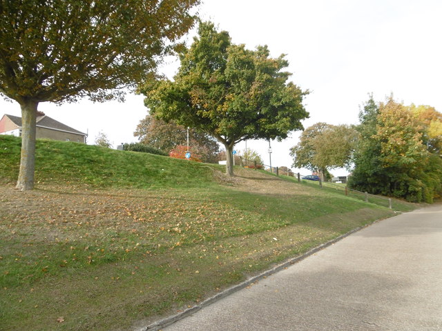
Image: © Marathon Taken: 27 Oct 2016
The main road which is Maidstone Road is just at the top of the bank on the left. This parallel road is also called Maidstone Road but it just has houses on the opposite side of the road from the bank. This looks towards the junction with Hawser Road.
Images are licensed for reuse under creativecommons.org/licenses/by-sa/2.0
Image Location
Latitude
51.368623
Longitude
0.499714