The path from Fleurs to Paddockmyre
Introduction
The photograph on this page of The path from Fleurs to Paddockmyre by Gordon Brown as part of the Geograph project.
The Geograph project started in 2005 with the aim of publishing, organising and preserving representative images for every square kilometre of Great Britain, Ireland and the Isle of Man.

There are currently over 7.5m images from over 14,400 individuals and you can help contribute to the project by visiting https://www.geograph.org.uk
The path from Fleurs to Paddockmyre
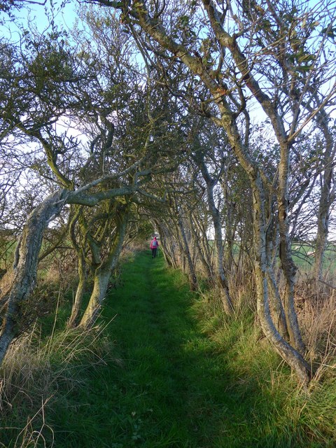
Image: © Gordon Brown Taken: 26 Oct 2016
Shown by the OS as a track but now beautifully overgrown and lined by low trees.
Images are licensed for reuse under creativecommons.org/licenses/by-sa/2.0
Image Location


Leaflet Map data © OpenStreetMap
Latitude
55.882213
Longitude
-2.137924