St Paul's Medical Centre
Introduction
The photograph on this page of St Paul's Medical Centre by Gerald England as part of the Geograph project.
The Geograph project started in 2005 with the aim of publishing, organising and preserving representative images for every square kilometre of Great Britain, Ireland and the Isle of Man.

There are currently over 7.5m images from over 14,400 individuals and you can help contribute to the project by visiting https://www.geograph.org.uk
St Paul's Medical Centre
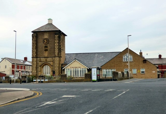
Image: © Gerald England Taken: 27 Aug 2016
St Paul's began as a daughter Church of Christ Church. The building in the photograph was consecrated in July 1899. It flourished until around the middle of the twentieth century when a gradual change occurred in the area with the diminution in the holiday trade, visitors stayed for shorter periods and fewer of these attended church services. The Church building was declared redundant at the end of March 1993 and it was adapted for use as a medical centre (http://www.stpaulspcc.co.uk/the-practices/history-of-the-practice-and-st-pauls/ History of St Paul's Medical Centre)
Images are licensed for reuse under creativecommons.org/licenses/by-sa/2.0
Image Location
Latitude
53.828772
Longitude
-3.053305