Path signpost alongside the B5341 Waterlode, Nantwich
Introduction
The photograph on this page of Path signpost alongside the B5341 Waterlode, Nantwich by Jaggery as part of the Geograph project.
The Geograph project started in 2005 with the aim of publishing, organising and preserving representative images for every square kilometre of Great Britain, Ireland and the Isle of Man.

There are currently over 7.5m images from over 14,400 individuals and you can help contribute to the project by visiting https://www.geograph.org.uk
Path signpost alongside the B5341 Waterlode, Nantwich
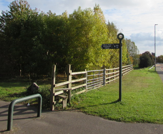
Image: © Jaggery Taken: 26 Oct 2016
Showing a quarter of a mile to Manor Road and one mile to Reaseheath College, the signpost arm points towards this path. http://www.geograph.org.uk/photo/5172617 The presence of a stile suggests that a locked gate used to be where the metal barrier is now.
Images are licensed for reuse under creativecommons.org/licenses/by-sa/2.0
Image Location
Latitude
53.070366
Longitude
-2.5271