Strawberry Line
Introduction
The photograph on this page of Strawberry Line by Guy Wareham as part of the Geograph project.
The Geograph project started in 2005 with the aim of publishing, organising and preserving representative images for every square kilometre of Great Britain, Ireland and the Isle of Man.

There are currently over 7.5m images from over 14,400 individuals and you can help contribute to the project by visiting https://www.geograph.org.uk
Strawberry Line
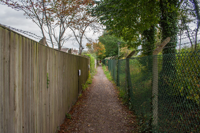
Image: © Guy Wareham Taken: 28 Oct 2016
Certainly not the best part of the path as it approaches the site of the former Cheddar Station.
Images are licensed for reuse under creativecommons.org/licenses/by-sa/2.0
Image Location
Latitude
51.276829
Longitude
-2.786586