Former council offices, Tywyn
Introduction
The photograph on this page of Former council offices, Tywyn by Jaggery as part of the Geograph project.
The Geograph project started in 2005 with the aim of publishing, organising and preserving representative images for every square kilometre of Great Britain, Ireland and the Isle of Man.

There are currently over 7.5m images from over 14,400 individuals and you can help contribute to the project by visiting https://www.geograph.org.uk
Former council offices, Tywyn
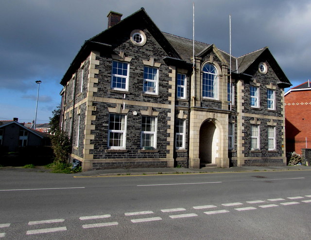
Image: © Jaggery Taken: 22 Oct 2016
Viewed across Neptune Road. A faded nameplate in the doorway shows CYNGOR DOSBARTH MEIRIONNYDD/MEIRIONNYDD DISTRICT COUNCIL.
Images are licensed for reuse under creativecommons.org/licenses/by-sa/2.0
Image Location


Leaflet Map data © OpenStreetMap
Latitude
52.586128
Longitude
-4.087681