Boer War Memorial, Tywyn
Introduction
The photograph on this page of Boer War Memorial, Tywyn by Jaggery as part of the Geograph project.
The Geograph project started in 2005 with the aim of publishing, organising and preserving representative images for every square kilometre of Great Britain, Ireland and the Isle of Man.

There are currently over 7.5m images from over 14,400 individuals and you can help contribute to the project by visiting https://www.geograph.org.uk
Boer War Memorial, Tywyn
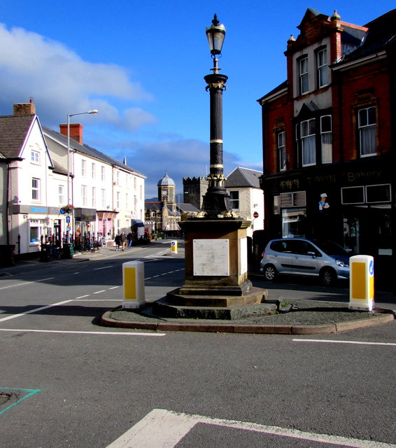
Image: © Jaggery Taken: 22 Oct 2016
At the northern end of Neptune Road, opposite Cambrian Square. Financed by public subscription, the Memorial was unveiled on August 9th 1902, the coronation day of King Edward VII. The Memorial was Grade II listed in 2005.
Images are licensed for reuse under creativecommons.org/licenses/by-sa/2.0
Image Location


Leaflet Map data © OpenStreetMap
Latitude
52.586669
Longitude
-4.087559