Footpath under the railway
Introduction
The photograph on this page of Footpath under the railway by Richard Sutcliffe as part of the Geograph project.
The Geograph project started in 2005 with the aim of publishing, organising and preserving representative images for every square kilometre of Great Britain, Ireland and the Isle of Man.

There are currently over 7.5m images from over 14,400 individuals and you can help contribute to the project by visiting https://www.geograph.org.uk
Footpath under the railway
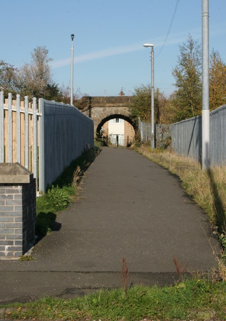
Image: © Richard Sutcliffe Taken: 25 Oct 2016
The path leads from Woodhead Road to waste ground on the other side of the railway. This leads to Nitshill Road, and Nitshill railway station.
Images are licensed for reuse under creativecommons.org/licenses/by-sa/2.0
Image Location
Latitude
55.811891
Longitude
-4.362191