Church Street, Haxey
Introduction
The photograph on this page of Church Street, Haxey by Paul Harrop as part of the Geograph project.
The Geograph project started in 2005 with the aim of publishing, organising and preserving representative images for every square kilometre of Great Britain, Ireland and the Isle of Man.

There are currently over 7.5m images from over 14,400 individuals and you can help contribute to the project by visiting https://www.geograph.org.uk
Church Street, Haxey
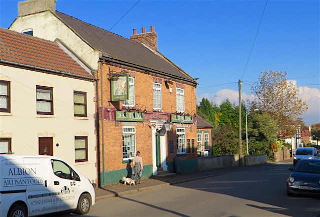
Image: © Paul Harrop Taken: 25 Oct 2016
Main street through the village, with the Duke William pub on the left.
Images are licensed for reuse under creativecommons.org/licenses/by-sa/2.0
Image Location
Latitude
53.48997
Longitude
-0.846512