Construction of houses, 34-40, Rushenden Road
Introduction
The photograph on this page of Construction of houses, 34-40, Rushenden Road by John Baker as part of the Geograph project.
The Geograph project started in 2005 with the aim of publishing, organising and preserving representative images for every square kilometre of Great Britain, Ireland and the Isle of Man.

There are currently over 7.5m images from over 14,400 individuals and you can help contribute to the project by visiting https://www.geograph.org.uk
Construction of houses, 34-40, Rushenden Road
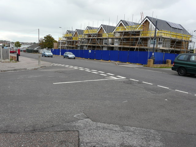
Image: © John Baker Taken: 9 Oct 2016
The ongoing work is described in Swale Borough Council’s planning application SW/15/504523/FULL as the “demolition of existing shops and stopping up of existing lay-by to the front for the construction of six two bedroom houses with associated parking/front garden and 8 metres deep (minimum) rear gardens”. Chris Whippet’s Image shows why the shops were demolished (they were derelict).
Images are licensed for reuse under creativecommons.org/licenses/by-sa/2.0
Image Location
Latitude
51.408129
Longitude
0.743751