Lady Octavia Park
Introduction
The photograph on this page of Lady Octavia Park by Lairich Rig as part of the Geograph project.
The Geograph project started in 2005 with the aim of publishing, organising and preserving representative images for every square kilometre of Great Britain, Ireland and the Isle of Man.

There are currently over 7.5m images from over 14,400 individuals and you can help contribute to the project by visiting https://www.geograph.org.uk
Lady Octavia Park
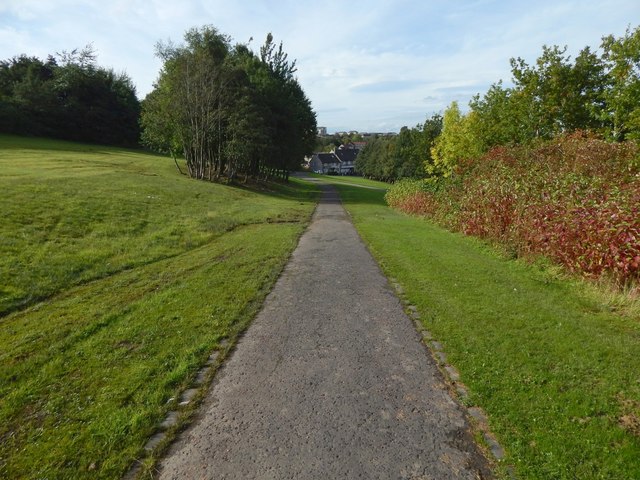
Image: © Lairich Rig Taken: 3 Oct 2016
About 150 metres ahead (compare Image with the middle of the present picture), the cycle route leaves the park, and meets Bridgend Road: for a view back from that point, see Image
Images are licensed for reuse under creativecommons.org/licenses/by-sa/2.0
Image Location
Latitude
55.935387
Longitude
-4.73127