Exeter Ship Canal
Introduction
The photograph on this page of Exeter Ship Canal by Des Blenkinsopp as part of the Geograph project.
The Geograph project started in 2005 with the aim of publishing, organising and preserving representative images for every square kilometre of Great Britain, Ireland and the Isle of Man.

There are currently over 7.5m images from over 14,400 individuals and you can help contribute to the project by visiting https://www.geograph.org.uk
Exeter Ship Canal
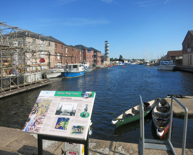
Image: © Des Blenkinsopp Taken: 23 Aug 2016
Visitor information board at the end of the Exeter Canal, which was one of the first canals in the country.
Images are licensed for reuse under creativecommons.org/licenses/by-sa/2.0
Image Location
Latitude
50.716587
Longitude
-3.530049