Near Ballycarry
Introduction
The photograph on this page of Near Ballycarry by Robert Ashby as part of the Geograph project.
The Geograph project started in 2005 with the aim of publishing, organising and preserving representative images for every square kilometre of Great Britain, Ireland and the Isle of Man.

There are currently over 7.5m images from over 14,400 individuals and you can help contribute to the project by visiting https://www.geograph.org.uk
Near Ballycarry
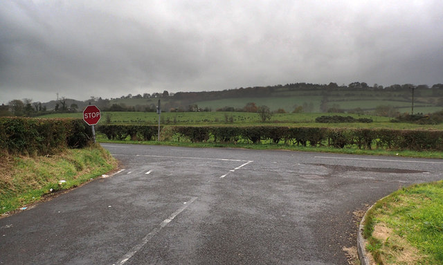
Image: © Robert Ashby Taken: 26 Oct 2016
The Forthill Road where it meets the B90. Rain clouds rolling in which put an early end to my days geographing shortly after.
Images are licensed for reuse under creativecommons.org/licenses/by-sa/2.0
Image Location
Latitude
54.756687
Longitude
-5.751985