Path on slopes of Knocknairs Hill
Introduction
The photograph on this page of Path on slopes of Knocknairs Hill by Lairich Rig as part of the Geograph project.
The Geograph project started in 2005 with the aim of publishing, organising and preserving representative images for every square kilometre of Great Britain, Ireland and the Isle of Man.

There are currently over 7.5m images from over 14,400 individuals and you can help contribute to the project by visiting https://www.geograph.org.uk
Path on slopes of Knocknairs Hill
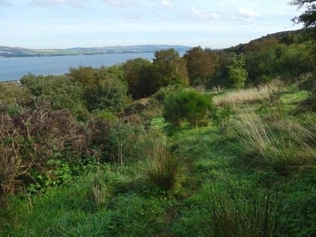
Image: © Lairich Rig Taken: 3 Oct 2016
The indistinct path shown here leads down to a cycle route, meeting it not far beyond the point shown in Image Visible on the other side of the Clyde is the shoreline between Cardross (left) and Dumbarton.
Images are licensed for reuse under creativecommons.org/licenses/by-sa/2.0
Image Location
Latitude
55.932165
Longitude
-4.706225