Lane to Pengelli Uchaf Farm
Introduction
The photograph on this page of Lane to Pengelli Uchaf Farm by Gethin Evans as part of the Geograph project.
The Geograph project started in 2005 with the aim of publishing, organising and preserving representative images for every square kilometre of Great Britain, Ireland and the Isle of Man.

There are currently over 7.5m images from over 14,400 individuals and you can help contribute to the project by visiting https://www.geograph.org.uk
Lane to Pengelli Uchaf Farm
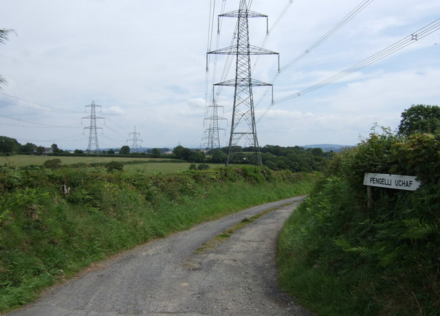
Image: © Gethin Evans Taken: 1 Aug 2007
Pylons and power lines dominate this rural countryside.
Images are licensed for reuse under creativecommons.org/licenses/by-sa/2.0
Image Location


Leaflet Map data © OpenStreetMap
Latitude
51.813364
Longitude
-4.381104