Tower and tractor between Haxey and Westwoodside
Introduction
The photograph on this page of Tower and tractor between Haxey and Westwoodside by Paul Harrop as part of the Geograph project.
The Geograph project started in 2005 with the aim of publishing, organising and preserving representative images for every square kilometre of Great Britain, Ireland and the Isle of Man.

There are currently over 7.5m images from over 14,400 individuals and you can help contribute to the project by visiting https://www.geograph.org.uk
Tower and tractor between Haxey and Westwoodside
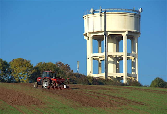
Image: © Paul Harrop Taken: 25 Oct 2016
Seen from the footpath between the two villages, close to Sandbeds Farm
Images are licensed for reuse under creativecommons.org/licenses/by-sa/2.0
Image Location
Latitude
53.487185
Longitude
-0.856083