Hall Cottage, Woolsthorpe Lane
Introduction
The photograph on this page of Hall Cottage, Woolsthorpe Lane by Alan Murray-Rust as part of the Geograph project.
The Geograph project started in 2005 with the aim of publishing, organising and preserving representative images for every square kilometre of Great Britain, Ireland and the Isle of Man.

There are currently over 7.5m images from over 14,400 individuals and you can help contribute to the project by visiting https://www.geograph.org.uk
Hall Cottage, Woolsthorpe Lane
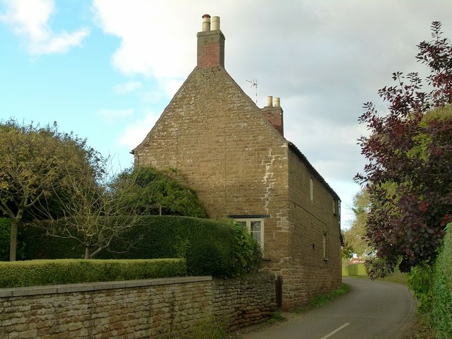
Image: © Alan Murray-Rust Taken: 23 Oct 2016
Originally 2 houses, now one. Late 18th century, coursed ironstone with pantiled roof, Listed grade II.
Images are licensed for reuse under creativecommons.org/licenses/by-sa/2.0
Image Location
Latitude
52.878028
Longitude
-0.754191