Track west of Mops Farm Bridge
Introduction
The photograph on this page of Track west of Mops Farm Bridge by Richard Vince as part of the Geograph project.
The Geograph project started in 2005 with the aim of publishing, organising and preserving representative images for every square kilometre of Great Britain, Ireland and the Isle of Man.

There are currently over 7.5m images from over 14,400 individuals and you can help contribute to the project by visiting https://www.geograph.org.uk
Track west of Mops Farm Bridge
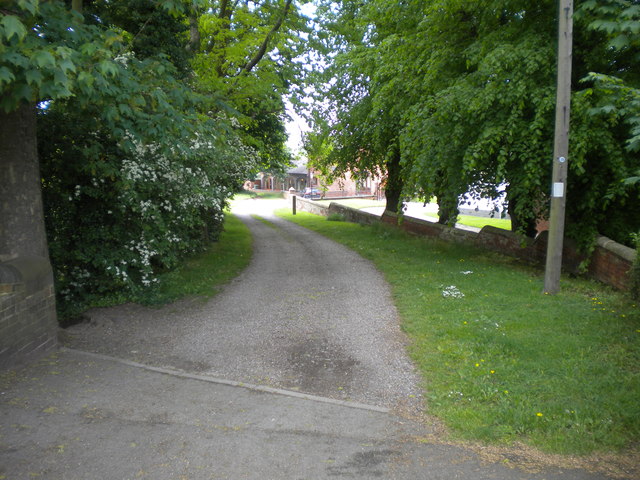
Image: © Richard Vince Taken: 28 May 2016
Playing host to a public bridleway.
Images are licensed for reuse under creativecommons.org/licenses/by-sa/2.0
Image Location
Latitude
52.573337
Longitude
-2.208007