The bottom of Sands Hill
Introduction
The photograph on this page of The bottom of Sands Hill by Neil Owen as part of the Geograph project.
The Geograph project started in 2005 with the aim of publishing, organising and preserving representative images for every square kilometre of Great Britain, Ireland and the Isle of Man.

There are currently over 7.5m images from over 14,400 individuals and you can help contribute to the project by visiting https://www.geograph.org.uk
The bottom of Sands Hill
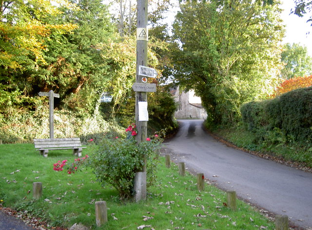
Image: © Neil Owen Taken: 21 Oct 2016
A small grassy triangle at Dyrham's Upper and Lower Street. See Image] for a look at a horse trail marker.
Images are licensed for reuse under creativecommons.org/licenses/by-sa/2.0
Image Location


Leaflet Map data © OpenStreetMap
Latitude
51.478932
Longitude
-2.376499