The lower end of a path to Gibshill
Introduction
The photograph on this page of The lower end of a path to Gibshill by Lairich Rig as part of the Geograph project.
The Geograph project started in 2005 with the aim of publishing, organising and preserving representative images for every square kilometre of Great Britain, Ireland and the Isle of Man.

There are currently over 7.5m images from over 14,400 individuals and you can help contribute to the project by visiting https://www.geograph.org.uk
The lower end of a path to Gibshill
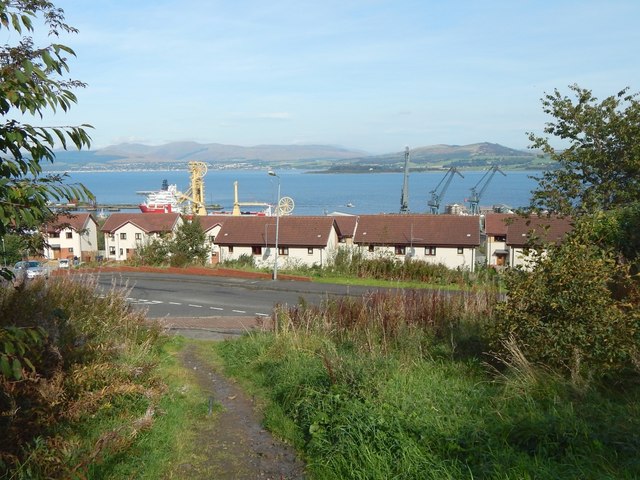
Image: © Lairich Rig Taken: 3 Oct 2016
This is the lower end of a Image Here, at its lower end, the path enters the Gibshill housing estate beside the junction of Poplar Street and Cobham Street.
Images are licensed for reuse under creativecommons.org/licenses/by-sa/2.0
Image Location
Latitude
55.934689
Longitude
-4.714087