Doncaster Lakeside and Island
Introduction
The photograph on this page of Doncaster Lakeside and Island by Jonathan Clitheroe as part of the Geograph project.
The Geograph project started in 2005 with the aim of publishing, organising and preserving representative images for every square kilometre of Great Britain, Ireland and the Isle of Man.

There are currently over 7.5m images from over 14,400 individuals and you can help contribute to the project by visiting https://www.geograph.org.uk
Doncaster Lakeside and Island
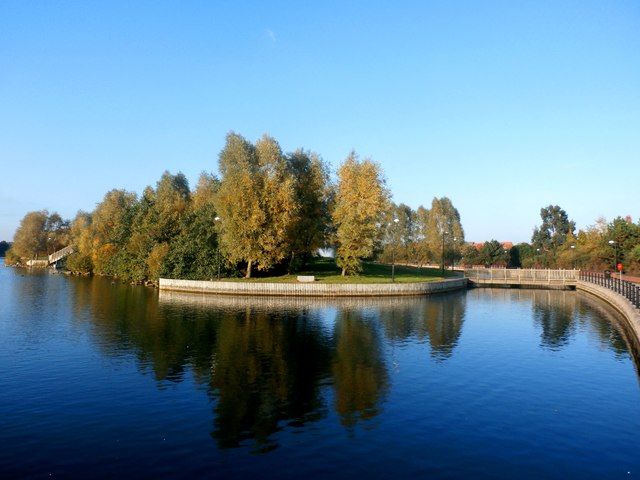
Image: © Jonathan Clitheroe Taken: 25 Oct 2016
The wooden footbridge on the right gives access to the island area in the centre of picture.
Images are licensed for reuse under creativecommons.org/licenses/by-sa/2.0
Image Location
Latitude
53.507727
Longitude
-1.103874