Cliff Avenue, Westcliff-on-Sea
Introduction
The photograph on this page of Cliff Avenue, Westcliff-on-Sea by David Kemp as part of the Geograph project.
The Geograph project started in 2005 with the aim of publishing, organising and preserving representative images for every square kilometre of Great Britain, Ireland and the Isle of Man.

There are currently over 7.5m images from over 14,400 individuals and you can help contribute to the project by visiting https://www.geograph.org.uk
Cliff Avenue, Westcliff-on-Sea
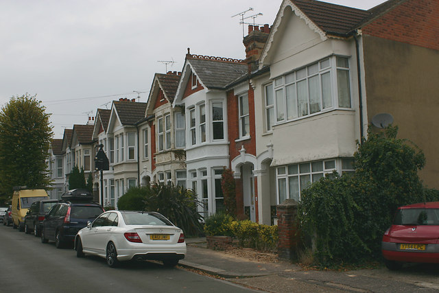
Image: © David Kemp Taken: 25 Oct 2016
Cliff Avenue is one of a number of late C19 to early C20 terraced streets that lie in the triangle defined by London Road, West Road and Victoria Avenue. The homely nature of this area became somewhat diminished with the construction of the nearby Balmoral Complex and its three tower blocks in 1971.
Images are licensed for reuse under creativecommons.org/licenses/by-sa/2.0
Image Location
Latitude
51.543031
Longitude
0.701379