St Andrew's Road, Avonmouth
Introduction
The photograph on this page of St Andrew's Road, Avonmouth by Derek Harper as part of the Geograph project.
The Geograph project started in 2005 with the aim of publishing, organising and preserving representative images for every square kilometre of Great Britain, Ireland and the Isle of Man.

There are currently over 7.5m images from over 14,400 individuals and you can help contribute to the project by visiting https://www.geograph.org.uk
St Andrew's Road, Avonmouth
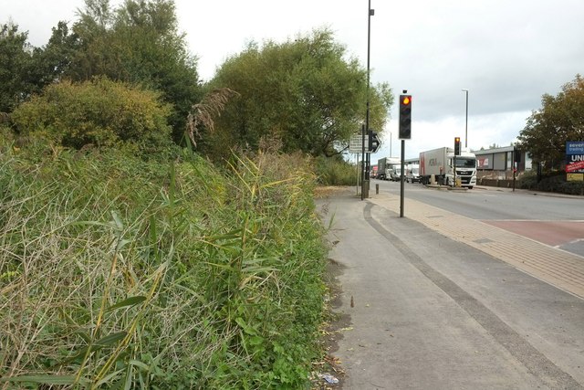
Image: © Derek Harper Taken: 19 Oct 2016
Kings Weston Lane turns right off the A403. A lot of traffic spends a lot of time here, especially those turning right. Reeds indicate the presence of water close to the road on the left, and indeed it's only three metres from the pavement to the rhyne shown further north in Image
Images are licensed for reuse under creativecommons.org/licenses/by-sa/2.0
Image Location
Latitude
51.515429
Longitude
-2.693702