Fibre broadband telecoms cabinet, Saundersfoot
Introduction
The photograph on this page of Fibre broadband telecoms cabinet, Saundersfoot by Jaggery as part of the Geograph project.
The Geograph project started in 2005 with the aim of publishing, organising and preserving representative images for every square kilometre of Great Britain, Ireland and the Isle of Man.

There are currently over 7.5m images from over 14,400 individuals and you can help contribute to the project by visiting https://www.geograph.org.uk
Fibre broadband telecoms cabinet, Saundersfoot
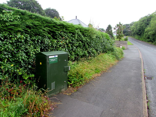
Image: © Jaggery Taken: 16 Jul 2016
Alongside the B4316 opposite the Stammers Lane junction. A label on the cabinet shows 'Fibre Broadband is here' and its Welsh equivalent.
Images are licensed for reuse under creativecommons.org/licenses/by-sa/2.0
Image Location
Latitude
51.703685
Longitude
-4.703465