Bus shelter near Cwm Gwennol, Saundersfoot
Introduction
The photograph on this page of Bus shelter near Cwm Gwennol, Saundersfoot by Jaggery as part of the Geograph project.
The Geograph project started in 2005 with the aim of publishing, organising and preserving representative images for every square kilometre of Great Britain, Ireland and the Isle of Man.

There are currently over 7.5m images from over 14,400 individuals and you can help contribute to the project by visiting https://www.geograph.org.uk
Bus shelter near Cwm Gwennol, Saundersfoot
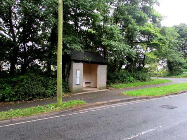
Image: © Jaggery Taken: 16 Jul 2016
Alongside the B4316 near the Cwm Gwennol junction http://www.geograph.org.uk/photo/5167984 in the south of Saundersfoot. This side of the road for buses to Tenby.
Images are licensed for reuse under creativecommons.org/licenses/by-sa/2.0
Image Location
Latitude
51.703802
Longitude
-4.702314