Harrow Road East
Introduction
The photograph on this page of Harrow Road East by Ian Capper as part of the Geograph project.
The Geograph project started in 2005 with the aim of publishing, organising and preserving representative images for every square kilometre of Great Britain, Ireland and the Isle of Man.

There are currently over 7.5m images from over 14,400 individuals and you can help contribute to the project by visiting https://www.geograph.org.uk
Harrow Road East
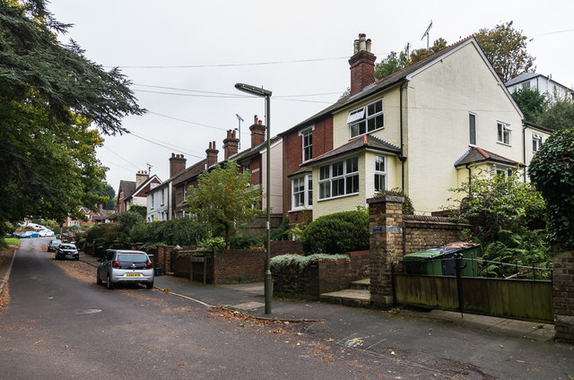
Image: © Ian Capper Taken: 21 Oct 2016
Late Victorian/Edwardian houses in Harrow Road East. Older maps show this section of road as part of Tower Hill, a name now used for addresses on the higher ground behind these houses.
Images are licensed for reuse under creativecommons.org/licenses/by-sa/2.0
Image Location
Latitude
51.223677
Longitude
-0.328458