Claygate Road
Introduction
The photograph on this page of Claygate Road by Ian Capper as part of the Geograph project.
The Geograph project started in 2005 with the aim of publishing, organising and preserving representative images for every square kilometre of Great Britain, Ireland and the Isle of Man.

There are currently over 7.5m images from over 14,400 individuals and you can help contribute to the project by visiting https://www.geograph.org.uk
Claygate Road
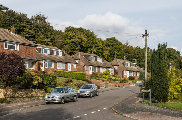
Image: © Ian Capper Taken: 21 Oct 2016
Late 1950s/early 1960s housing built on the southern slopes of Tower Hill, on land previously belonging to Goodwyns Place.
Images are licensed for reuse under creativecommons.org/licenses/by-sa/2.0
Image Location
Latitude
51.220649
Longitude
-0.325474