Parris Croft
Introduction
The photograph on this page of Parris Croft by Ian Capper as part of the Geograph project.
The Geograph project started in 2005 with the aim of publishing, organising and preserving representative images for every square kilometre of Great Britain, Ireland and the Isle of Man.

There are currently over 7.5m images from over 14,400 individuals and you can help contribute to the project by visiting https://www.geograph.org.uk
Parris Croft
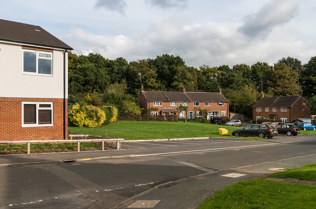
Image: © Ian Capper Taken: 21 Oct 2016
Looking towards housing in Parris Croft, a cul-de-sac off Goodwyns Road on the Goodwyns Estate, a largely late 1950s housing estate built by Dorking Urban District Council on land compulsory purchased from local benefactor Howard Martineau, who until 1954 owned Goodwyns Place on Tower Hill, just to the north of the estate. On the left is part of Bluebells, the newest development on the estate, completed in 2015.
Images are licensed for reuse under creativecommons.org/licenses/by-sa/2.0
Image Location
Latitude
51.218541
Longitude
-0.322071