Branch of the Weaver Navigation, near Winsford
Introduction
The photograph on this page of Branch of the Weaver Navigation, near Winsford by Christine Johnstone as part of the Geograph project.
The Geograph project started in 2005 with the aim of publishing, organising and preserving representative images for every square kilometre of Great Britain, Ireland and the Isle of Man.

There are currently over 7.5m images from over 14,400 individuals and you can help contribute to the project by visiting https://www.geograph.org.uk
Branch of the Weaver Navigation, near Winsford
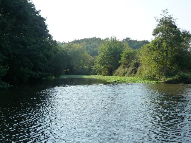
Image: © Christine Johnstone Taken: 14 Sep 2016
On the west bank. Does the name Verdin's Cut apply to this branch or the main navigation? Robert Verdin was a local MP and salt manufacturer in the 1800s. Perhaps this is the original line of the river?
Images are licensed for reuse under creativecommons.org/licenses/by-sa/2.0
Image Location
Latitude
53.197314
Longitude
-2.522071