Part of Fairy Glen, Rosemarkie
Introduction
The photograph on this page of Part of Fairy Glen, Rosemarkie by Julian Paren as part of the Geograph project.
The Geograph project started in 2005 with the aim of publishing, organising and preserving representative images for every square kilometre of Great Britain, Ireland and the Isle of Man.

There are currently over 7.5m images from over 14,400 individuals and you can help contribute to the project by visiting https://www.geograph.org.uk
Part of Fairy Glen, Rosemarkie
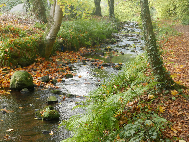
Image: © Julian Paren Taken: 24 Oct 2016
The Horse Burn or Markie Burn floors the wooded valley called Fairy Glen. There are fine waterfalls upstream from Rosemarkie.
Images are licensed for reuse under creativecommons.org/licenses/by-sa/2.0
Image Location
Latitude
57.592726
Longitude
-4.117098