Junction on Avonmouth Road
Introduction
The photograph on this page of Junction on Avonmouth Road by Derek Harper as part of the Geograph project.
The Geograph project started in 2005 with the aim of publishing, organising and preserving representative images for every square kilometre of Great Britain, Ireland and the Isle of Man.

There are currently over 7.5m images from over 14,400 individuals and you can help contribute to the project by visiting https://www.geograph.org.uk
Junction on Avonmouth Road
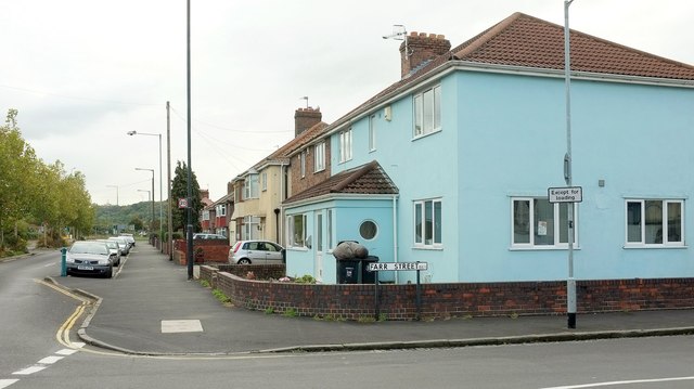
Image: © Derek Harper Taken: 19 Oct 2016
Farr Road turns off to the right. About 100 metres of the main road on the left (here briefly a dual carriageway) is in square as it crosses the northeast corner. Behind the camera is Image
Images are licensed for reuse under creativecommons.org/licenses/by-sa/2.0
Image Location


Leaflet Map data © OpenStreetMap
Latitude
51.498525
Longitude
-2.693589