Fields south of Astley Cross, Stourport
Introduction
The photograph on this page of Fields south of Astley Cross, Stourport by Mike Dodman as part of the Geograph project.
The Geograph project started in 2005 with the aim of publishing, organising and preserving representative images for every square kilometre of Great Britain, Ireland and the Isle of Man.

There are currently over 7.5m images from over 14,400 individuals and you can help contribute to the project by visiting https://www.geograph.org.uk
Fields south of Astley Cross, Stourport
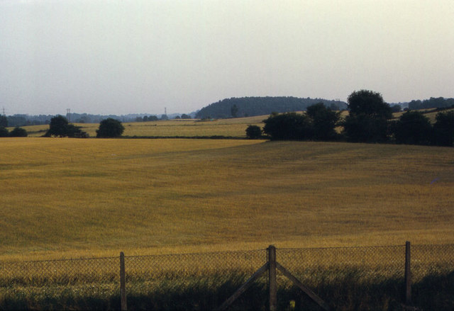
Image: © Mike Dodman Taken: 15 Jan 2010
Looking south from Windsor Drive (chain link fencing at foot of photo), the crop is awaiting harvesting. Photo taken in 1974. As that fencing also marks the southern edge of Stourport, it seems highly unlikely that the town will spread out any further south at this point.
Images are licensed for reuse under creativecommons.org/licenses/by-sa/2.0
Image Location
Latitude
52.324879
Longitude
-2.282109