Aldreth: New Cut Drain
Introduction
The photograph on this page of Aldreth: New Cut Drain by John Sutton as part of the Geograph project.
The Geograph project started in 2005 with the aim of publishing, organising and preserving representative images for every square kilometre of Great Britain, Ireland and the Isle of Man.

There are currently over 7.5m images from over 14,400 individuals and you can help contribute to the project by visiting https://www.geograph.org.uk
Aldreth: New Cut Drain
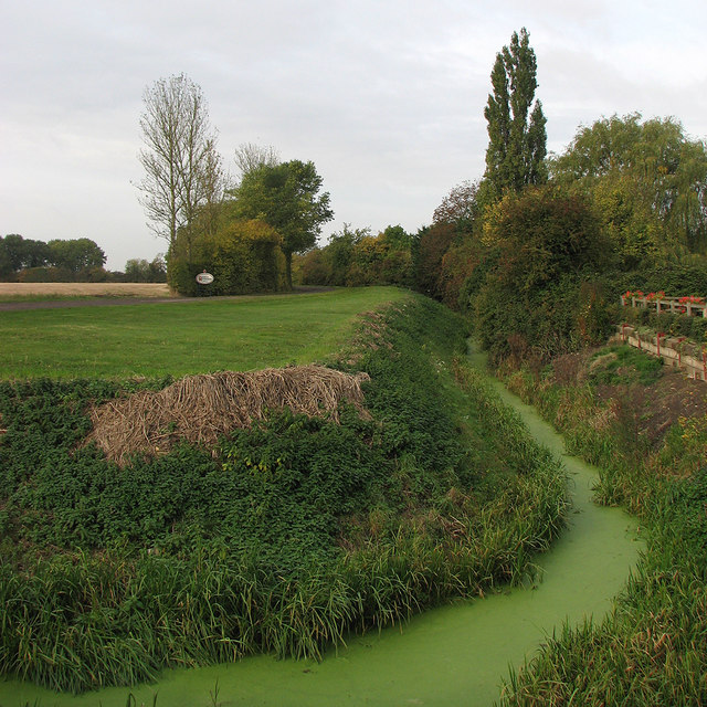
Image: © John Sutton Taken: 21 Oct 2016
A dike which skirts the 30m ridge on which Aldreth stands.
Images are licensed for reuse under creativecommons.org/licenses/by-sa/2.0
Image Location
Latitude
52.337873
Longitude
0.118476