Hermon and Gwyl y Garreg Las
Introduction
The photograph on this page of Hermon and Gwyl y Garreg Las by Patrick as part of the Geograph project.
The Geograph project started in 2005 with the aim of publishing, organising and preserving representative images for every square kilometre of Great Britain, Ireland and the Isle of Man.

There are currently over 7.5m images from over 14,400 individuals and you can help contribute to the project by visiting https://www.geograph.org.uk
Hermon and Gwyl y Garreg Las
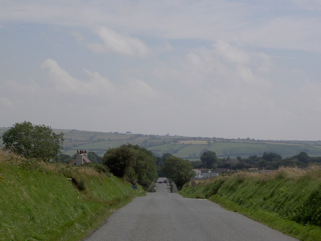
Image: © Patrick Taken: 5 Aug 2007
Looking into the village of Hermon along the straight road from Crymych. The tents of the Celtic Blue Rock festival (Gwyl y Garreg Las, Image) can be seen clearly on the skyline.
Images are licensed for reuse under creativecommons.org/licenses/by-sa/2.0
Image Location
Latitude
51.956887
Longitude
-4.614169