Tuckton: footpath I14 from Sunnylands Avenue
Introduction
The photograph on this page of Tuckton: footpath I14 from Sunnylands Avenue by Chris Downer as part of the Geograph project.
The Geograph project started in 2005 with the aim of publishing, organising and preserving representative images for every square kilometre of Great Britain, Ireland and the Isle of Man.

There are currently over 7.5m images from over 14,400 individuals and you can help contribute to the project by visiting https://www.geograph.org.uk
Tuckton: footpath I14 from Sunnylands Avenue
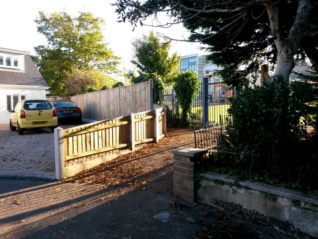
Image: © Chris Downer Taken: 22 Oct 2016
The dead end here abuts the grounds of St Peter's School, which has undergone expansion works over the summer which continue just now - it is one of the new buildings which we see in the background. Meanwhile, swinging round to the left is a public footpath towards Hengistbury Road, crossing the school grounds to get there. See Image for the next view on the path ahead, with links to further photos along the route. See also Image for the view up the road to this point, with links to photos along further paths behind us heading through to Southlands Avenue and Belle Vue Road.
Images are licensed for reuse under creativecommons.org/licenses/by-sa/2.0
Image Location
Latitude
50.724646
Longitude
-1.79155