Former public house, Holloway Road
Introduction
The photograph on this page of Former public house, Holloway Road by Jim Osley as part of the Geograph project.
The Geograph project started in 2005 with the aim of publishing, organising and preserving representative images for every square kilometre of Great Britain, Ireland and the Isle of Man.

There are currently over 7.5m images from over 14,400 individuals and you can help contribute to the project by visiting https://www.geograph.org.uk
Former public house, Holloway Road
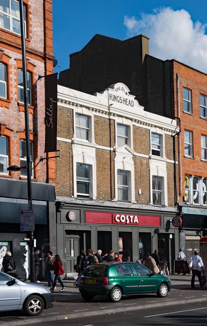
Image: © Jim Osley Taken: 22 Oct 2016
Once "The Old Kings Head" this former licensed premises is home to a branch of popular coffee house chain.
Images are licensed for reuse under creativecommons.org/licenses/by-sa/2.0
Image Location
Latitude
51.555675
Longitude
-0.115702