Redisher to Manchester
Introduction
The photograph on this page of Redisher to Manchester by Carroll Pierce as part of the Geograph project.
The Geograph project started in 2005 with the aim of publishing, organising and preserving representative images for every square kilometre of Great Britain, Ireland and the Isle of Man.

There are currently over 7.5m images from over 14,400 individuals and you can help contribute to the project by visiting https://www.geograph.org.uk
Redisher to Manchester
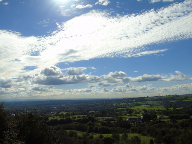
Image: © Carroll Pierce Taken: 10 Oct 2016
Taken on the path running above Saplin Wood and Fine Brows across Redisher Wood Nature Reserve, I am looking across the Greater Manchester conurbation to Bury, Manchester and Salford. The Peak District can be glimpsed on the far horizon to the left of shot.
Images are licensed for reuse under creativecommons.org/licenses/by-sa/2.0
Image Location
Latitude
53.632396
Longitude
-2.338399