Pigeon Dock #1 Sluice
Introduction
The photograph on this page of Pigeon Dock #1 Sluice by Glyn Baker as part of the Geograph project.
The Geograph project started in 2005 with the aim of publishing, organising and preserving representative images for every square kilometre of Great Britain, Ireland and the Isle of Man.

There are currently over 7.5m images from over 14,400 individuals and you can help contribute to the project by visiting https://www.geograph.org.uk
Pigeon Dock #1 Sluice
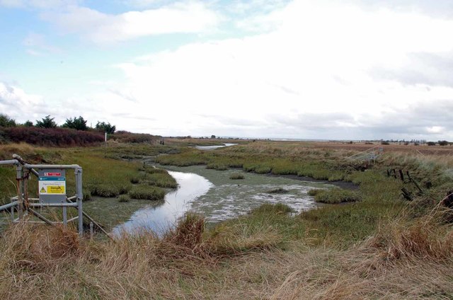
Image: © Glyn Baker Taken: 20 Oct 2016
This is the end of Mayland Creek it may be that the wooden posts in the right hand bank of the creek are the remains of the dock, however there are more substantial remains a little further downstream perhaps these are Image
Images are licensed for reuse under creativecommons.org/licenses/by-sa/2.0
Image Location
Latitude
51.685054
Longitude
0.777831