View over Oakdale
Introduction
The photograph on this page of View over Oakdale by M J Roscoe as part of the Geograph project.
The Geograph project started in 2005 with the aim of publishing, organising and preserving representative images for every square kilometre of Great Britain, Ireland and the Isle of Man.

There are currently over 7.5m images from over 14,400 individuals and you can help contribute to the project by visiting https://www.geograph.org.uk
View over Oakdale
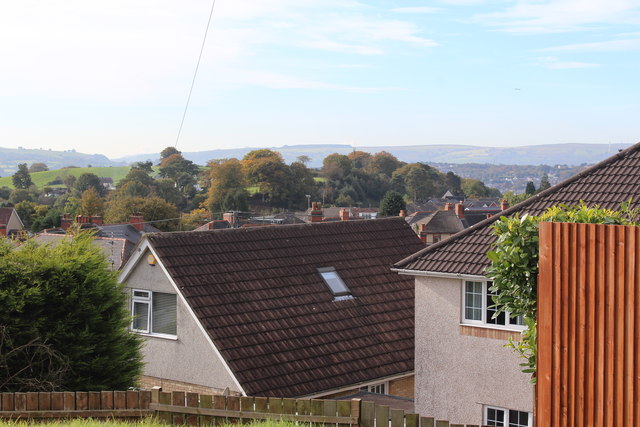
Image: © M J Roscoe Taken: 21 Oct 2016
View southwest from the highest point in the village, the houses in the foreground are on Maes-y-garn Road.
Images are licensed for reuse under creativecommons.org/licenses/by-sa/2.0
Image Location
Latitude
51.676498
Longitude
-3.175449