Building site in Wrinehill
Introduction
The photograph on this page of Building site in Wrinehill by Jonathan Hutchins as part of the Geograph project.
The Geograph project started in 2005 with the aim of publishing, organising and preserving representative images for every square kilometre of Great Britain, Ireland and the Isle of Man.

There are currently over 7.5m images from over 14,400 individuals and you can help contribute to the project by visiting https://www.geograph.org.uk
Building site in Wrinehill
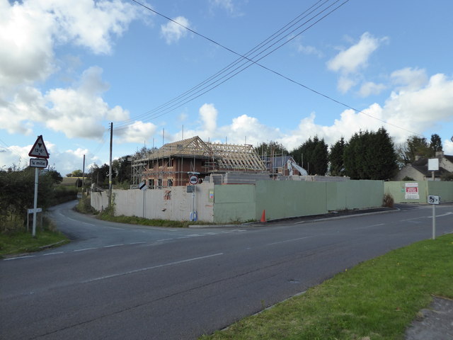
Image: © Jonathan Hutchins Taken: 19 Oct 2016
This is the site of the former Blue Bell pub. More than seven years after its closure the pub sign, now bleached white, can still be seen in the extreme right of the photo. For earlier views see http://www.geograph.org.uk/photo/4209571 (2014) and http://www.geograph.org.uk/photo/1271239 (2009) For a later view with the houses nearly finished see http://www.geograph.org.uk/photo/5451670
Images are licensed for reuse under creativecommons.org/licenses/by-sa/2.0
Image Location
Latitude
53.019185
Longitude
-2.368908